
Growing up on a farm near Harare, Zimbabwe, Chikwereti often saw smallholder farmers making critical decisions with limited data on soil, weather, or crop health. It was this experience that sparked his quest to harness technology for smarter farming.
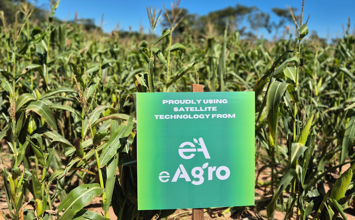
He explains that eAgro, which he co-founded in 2022 with high school friend Golden Nhunhama, delivers data-driven agricultural support to farmers, blending satellite monitoring, artificial intelligence (AI), and agronomic expertise.
By using satellite data, eAgro can monitor vegetation, rainfall, soil moisture, and temperature trends across large areas, allowing early detection of drought stress. This, in turn, allows farmers to respond faster and adjust their strategies.
“Our platform converts crop, soil, and climate data into practical recommendations for farmers,” says Chikwereti.

“These insights help them understand water availability, manage irrigation more efficiently, and make better decisions during the growing season.”
He adds that the company analyses key indicators such as the normalised difference vegetation index for vegetation health, the normalised difference water index for soil and vegetation moisture content, and land surface temperature.
The system translates these signals into actionable insights on crop performance and risks. Farmers must sign up to the eAgro platform to receive these updates via WhatsApp or SMS.
“Satellite monitoring helps detect early signs of crop stress before they become visible in the field. This allows farmers to respond earlier and prevent potential yield losses,” adds Chikwereti.
Combining the old with the new
Asked to compare the effectiveness of satellite monitoring with traditional methods, Chikwereti explains that while the latter (field scouting and observation) are still important, they often detect problems too late.
Satellite monitoring allows large areas to be monitored consistently and frequently, helping to detect early changes in crop health or moisture conditions. However, Chikwereti says the most effective approach combines these technological insights with on-the-ground verification by farmers and agronomists.
He adds that farmers don’t need to be able to interpret the satellite imagery themselves, as eAgro simplifies the data and translates it into clear recommendations.
“We work with farmer groups and agricultural partners to introduce the platform and ensure they understand how to use the insights provided. Many farmers simply receive alerts or advice through mobile platforms or SMS.”
Barriers to accessibility
Chikwereti says one of eAgro’s challenges is making advanced technology accessible in areas with limited connectivity. That’s why the company focuses on simplifying insights and delivering them through low-bandwidth platforms and SMS.
He adds that government support for digital agriculture and rural connectivity could significantly accelerate the adoption of technologies that help farmers adapt to climate variability.
“Satellite monitoring is becoming more powerful, as new satellites provide higher-resolution imagery and more frequent observations.
“The future lies in combining satellite data, AI, and agronomic expertise to create predictive farming systems, enabling farmers to anticipate risks and act before problems occur.”
Farmer success story
Kerbouchard Zvovushe, a 29-year-old farmer from Murehwa in Mashonaland East, grows paprika, chillies, maize, groundnuts, and finger millet on 2ha.
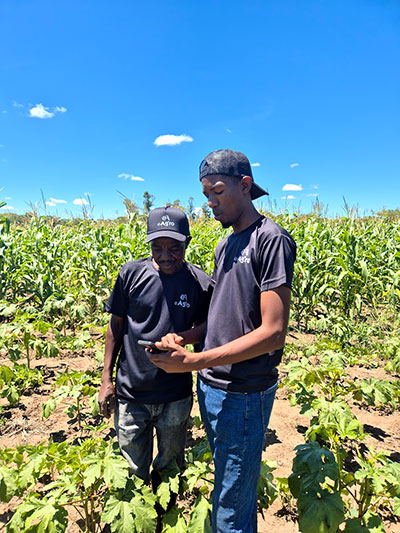
He subscribed to eAgro in 2024 and says it has made a significant difference to his operation, helping with planning and mapping on his land.
Over the years, his productivity declined due to deteriorating soil health and high pH. By adopting satellite monitoring, he was able to detect these problems and take corrective action, leading to higher yields.
“I can now make informed decisions on where to place fowl runs and cattle, where to drill a borehole, and plan my crop rotations, taking advantage of my landscape and water sources,” he explains.
“I get accurate results in no time, allowing me to make decisions and respond to diseases, pests, or nutrient deficiencies, which greatly reduces losses in my fields.
“Another benefit is that it has helped me plan efficient irrigation schedules, especially this season when the rain was inconsistent.
“Thanks to satellite data, we have recorded an increase in yields. In paprika alone, yields increased from 1t/ha in 2024 to 1,6t/ha in 2025, and this year we are expecting yields of 2t/ha,” adds Zvovushe.
“We are now using water more efficiently, thanks to data that tells us the right quantities to apply.”


