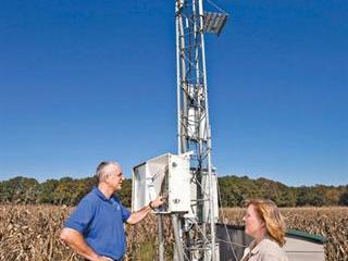
Scientist Martha Anderson of the US Agricultural Research Service and hydrologist Bill Kustas have developed an atmosphere-land exchange inverse (ALEXI) system to enable farmers and others monitor drought and evapo-transpiration (ET). The latter is water that evaporates from soil and plant surfaces as well as water vapour that escapes through leaf pores during photosynthesis.
ALEXI uses thermal infrared imagery from satellites to calculate soil and plant temperature and moisture levels. The measurements can be used to create maps of ET rates in cultivated areas and natural habitats. In this way, it’s possible to detect rivers, lakes, wetlands, riparian buffers, irrigated cropland and areas under water stress.
“Generally speaking, a cooler land surface is an indicator that ET is higher,” explains Anderson. “Evaporation cools surfaces, so lower surface temperatures are associated with wetter soil and greater ET rates. “In contrast, stressed vegetation exhibits elevated leaf temperatures, which can also be detected from space.”
Data fed into ALEXI is partitioned into soil and plant temperatures. The system then uses these temperatures to estimate soil evaporation and plant transpiration. These estimates, in turn, help farmers to decide how much and when to irrigate, or how drought is likely to affect yield in rainfed cropping areas.
ALEXI has been estimating ET rates since 2000 and the researchers are currently mapping parts of Africa. Anderson recently attended a conference in Ethiopia on soil moisture and drought monitoring aimed at helping subsistence farmers. Scientists, government officials and disaster-aid groups showed great interest in the system. The researchers plan to make the maps available online soon at www.drought.gov.

