

A cold front expected to make landfall in the Western Cape this week has been forecast to bring cold, wet, windy weather that could be devastating to livestock, especially small stock.
The front is expected over the Western Cape and Namakwa District in the Northern Cape on 15 and 16 June.
Gale force winds of up to 70km/h have been forecast for the West Coast and interior on Thursday, extending into Friday, while the Eastern Cape coastline could be battered by winds of up to 60km/h and waves between 5m and 7m high.
The SA Weather Service (SAWS) has warned livestock farmers in most of the Western Cape, large areas of the Northern and Eastern Cape, and the southern parts of the Free State to take precautions.
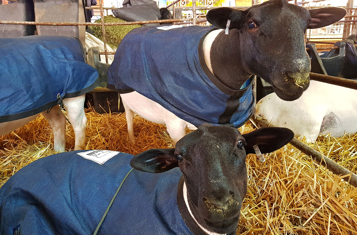
“Farmers of small stock are advised that the combination of cold, wet and windy weather may prove fatal to stock unless animals are taken to shelter well ahead of the onset of the extreme winter weather,” SAWS said.
Heavy rain leading to flooding was expected for the City of Cape Town, the Cape Winelands, the western parts of the Overberg, and the West Coast District on Thursday and into Friday, SAWS said.
It also forecast “significant” rainfall from Thursday morning with accumulated rainfall of between 10mm and 25mm, but up to 50mm over the mountains in that area.
Very cold conditions of about 10°C and lower were forecast for the southern interior of the Namakwa district and northern parts of the Cape Winelands by Friday.
By Saturday, the front would have exited the country, leaving cold, dry air in its wake to spread through the interior. Cold daytime temperatures were expected in Free State, North West, Gauteng and Mpumalanga.
The interior was also expected to be buffeted by strong, gusty winds, which posed a risk for the development of runaway veldfires.
The deputy chairperson of the National Wool Growers’ Association (NWGA) in the Free State, Herman Archer, who was attending the NWGA’s national congress in Port Elizabeth this week, said the weather there had been warm and sunny on Wednesday.
Despite this, farmers needed to be aware that the weather was unpredictable and could change completely in the course of a few hours, he said.
“If the weather service has issued a warning, people must take precautions.”
He urged farmers in areas forecast to experience cold, wet weather to put contingency plans in place. This included moving sheep into a shed or near to the house so that quick action could be taken if the weather turned, as well as ensuring that staff were on hand to assist.
Archer added that recently sheared sheep and young lambs would be at greatest risk.


