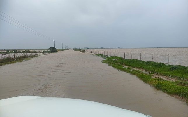
The cold front is expected to result in widespread flooding of roads and settlements as well as mudslides and rockslides over the City of Cape Town, Drakenstein and Stellenbosch municipalities on Thursday, with 24-hour rainfall accumulations expected of 40mm to 60mm, reaching 80mm to 100mm in the mountainous areas.
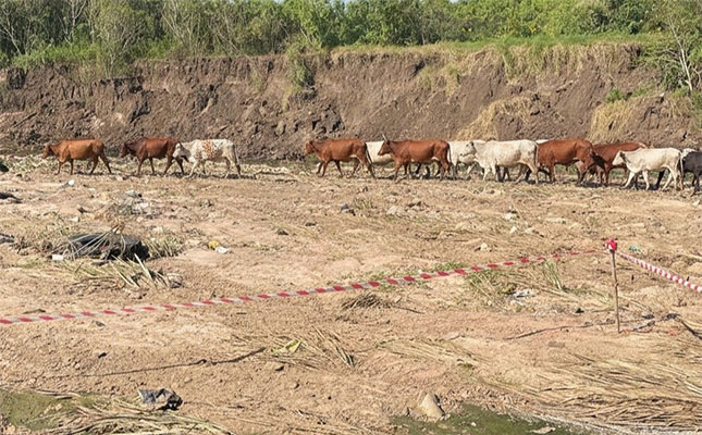
The South African Weather Service advised people to stay indoors and off roads and to avoid the crossing of rivers and swollen streams where water is above ankle height. Farmers have also been advised to protect and relocate animals to a safe place on higher ground.
Two more cold fronts on the way towards the end of the week. Possible flooding for the Western Cape as the rain persists. For the rest of the country, fine and cool to warm conditions can be expected. pic.twitter.com/I9HtnY0sMO
— SA Weather Service (@SAWeatherServic) July 9, 2024
The first cold front hit the Western Province and the central parts of the country on Sunday, and the eastern parts on Monday.
Since then, it has caused disruptive snowfall over the southern and western high ground, accompanied by damaging winds over the interior as well as the coastline, high seas along the coastal areas and very cold conditions over a significant part of the country.
READ Farmers urged to prepare for veld-fire season amid early outbreaks
Various climate records have been broken since Sunday. On 7 July, the highest daily rain increased from 47,8mm, recorded on 26 July 2016, to 70,22mm at Elim; from 26,4mm, recorded on 4 of July 2014, to 30,4mm at Swellendam; and from 56mm, recorded on 23 July 2019, to 69,8mm at Tulbagh.
On 8 July, the lowest minimum temperature recorded in Cape Town went down from 2,5°C, recorded on 24 July 2021, to 2,2°C.
Agri Western Cape and the Western Cape Department of Agriculture had not received any reports of major damage suffered on farms and to agricultural infrastructure up until Tuesday.
Daniel Johnson, spokesperson for the Western Cape Department of Agriculture, said this could change as the second front hit the province: “The soil is already saturated, so more rain could result in flooding, which could be compounded as water flows down from the high-lying areas over the next few days. We should have an idea of the extent of damage, if any, by Friday.”
André Christie-Smith, who farms at Kleiheuwel Trust, near Bredasdorp, told Farmer’s Weekly that the road he usually took to town flooded just after he dropped off his children at school on Tuesday morning, which meant he had to take the alternative, much longer road home.
He confirmed that farmers in the area between Bredasdorp and Arniston suffered huge losses during the previous cold front, about four weeks ago in June.
“I lost about 30% of my grain crop during the heavy rainfall at the start of June. It is still too early to say how this current cold front will affect production, besides the fact that it will make it difficult to perform any spray applications within the next few weeks.”
While he has not suffered any sheep losses so far, some of his neighbouring farmers have not been that fortunate.
In KwaZulu-Natal, Kwanalu confirmed that producers were finding conditions challenging as many areas were in the grips of winter, with very dry conditions.
The organisation also received reports from members that significant grazing and veld areas had been lost to extensive fires driven by the strong winds that came with the cold front in the past few days. This, coupled with extreme cold conditions, is impacting on many livestock and crop production areas.


