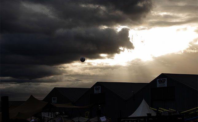
Meteorologist Annette Botha from Vox Weather shared the following forecast with Farmer’s Weekly:
- Wednesday, 10 September: a beautiful spring day is expected, mostly sunny, mild, and pleasant, with highs around 23°C and a light breeze, perfect for spending time outdoors.
- Thursday, 11 September: things start to shift a bit. The morning will bring some sunshine, but by afternoon, expect the easterly wind to pick up, and clouds and light rain to move in much later. Temperatures will sit around 20°C, so it’ll be a little cooler.
- Friday, 12 September: mostly cloudy skies, a cool breeze picking up, and not much in the way of rain, except for some drizzle in the morning. The highs will be between 20 and 22°C.
- Saturday, 13 September: rain on and off in the morning, with an icy east-southeasterly wind, lingering cloud cover, and a noticeable drop in temperature, with highs only reaching around 19°C.
According to Botha, this “four seasons in one week” weather is typical for early spring in the Overberg, where cold fronts still sweep in from the Atlantic Ocean, yet stretches of sunshine and warmer days hint at summer.
“Spring’s personality is a season of contrasts; you can get a hot berg wind one day and drizzle the next. So, while the sunshine mid-week is a treat, the wet, cooler finish to the show is all part of the spring mix.
“For the Overberg’s farming community, this mix of sunshine and showers is vital. September rainfall helps kickstart the growing season for pastures and crops, while warmer days speed up growth,” she said.
Overberg Agri weather forecaster Giel Hugo said that, as the season transitioned from winter to summer, weather forecast models weren’t all that reliable.
“The September/October period in [the Overberg] area is characterised by variable conditions caused by low pressure systems that develop in the upper air. The position where they develop is always random, which means some years we get a lot of rain, while other years are drier.
“The position where these systems are developing at the moment is not advantageous for the Overberg, but there is a chance that we will get a little more rain over from mid-September to the last week [of the month], but it will not be more than usual,” he explained.
Hugo added that crops in the Overberg were struggling at the moment.
“There was enough rain from the beginning to mid-winter to give a boost to grain, but we only got 11,9mm of rain in Bredasdorp in August. This is well below normal, and September may work out the same.
“The grain is at a critical [stage], and we don’t know if the little [rain] that falls will be enough. For the time being, it also looks like there’ll be some rain in October, but again, [it] may be too late,” he said.

